ไฟล์:Soldier Field Chicago aerial view.jpg

ขนาดของตัวอย่างนี้: 753 × 599 พิกเซล ความละเอียดอื่น: 302 × 240 พิกเซล | 603 × 480 พิกเซล | 965 × 768 พิกเซล | 1,280 × 1,019 พิกเซล | 1,500 × 1,194 พิกเซล
ดูภาพที่มีความละเอียดสูงกว่า (1,500 × 1,194 พิกเซล, ขนาดไฟล์: 606 กิโลไบต์, ชนิดไมม์: image/jpeg)
| รูปภาพหรือไฟล์เสียงนี้ ต้นฉบับอยู่ที่ คอมมอนส์ รายละเอียดด้านล่าง เป็นข้อความที่แสดงผลจาก ไฟล์ต้นฉบับในคอมมอนส์
|
| คำอธิบาย |
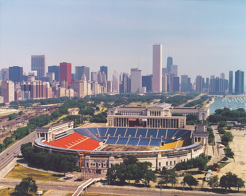
English: Aerial view of Soldier Field and the skyline of Chicago, Illinois, USA. |
|||
| วันที่ | ||||
| แหล่งที่มา |
U.S. Army Corps of Engineers Digital Visual Library Image page Image description page Digital Visual Library home page |
|||
| ผู้สร้างสรรค์ | Dale Fisher, U.S. Army Corps of Engineers | |||
| การอนุญาต (การใช้ไฟล์นี้ใหม่) |
|
|||
| เวอร์ชันอื่น | ||||
| Location | Chicago, Illinois, USA |
.jpg)
| ตำแหน่งที่ตั้งกล้อง | | ภาพนี้และภาพอื่น ๆ ณ สถานที่เดียวกันที่ OpenStreetMap |
|---|
ประวัติไฟล์
คลิกวันที่/เวลาเพื่อดูไฟล์ที่ปรากฏในขณะนั้น
| วันที่/เวลา | รูปย่อ | ขนาด | ผู้ใช้ | ความเห็น | |
|---|---|---|---|---|---|
| ปัจจุบัน | 07:26, 1 เมษายน 2550 | | 1,500 × 1,194 (606 กิโลไบต์) | DanMS | {{Information | Description = {{en|Aerial view of Soldier Field and the skyline of Chicago, Illinois, USA.}} | Source = U.S. Army Corps of Engineers Digital Visual Library<br />[http://images.usace.army.mil/images/Hires/LRE0016.jpg Image page]< |
หน้าที่มีภาพนี้
หน้าต่อไปนี้ โยงมาที่ภาพนี้:
การใช้ไฟล์ข้ามโครงการ
วิกิอื่นต่อไปนี้ใช้ไฟล์นี้:
- การใช้บน af.wikipedia.org
- การใช้บน als.wikipedia.org
- การใช้บน am.wikipedia.org
- การใช้บน ast.wikipedia.org
- การใช้บน bg.wikipedia.org
- การใช้บน bs.wikipedia.org
- การใช้บน ca.wikipedia.org
- การใช้บน de.wikipedia.org
- การใช้บน el.wikipedia.org
- การใช้บน en.wikipedia.org
- การใช้บน es.wikipedia.org
- การใช้บน fa.wikipedia.org
- การใช้บน fr.wikipedia.org
- การใช้บน fy.wikipedia.org
- การใช้บน he.wikipedia.org
- การใช้บน hi.wikipedia.org
- การใช้บน hu.wikipedia.org
- การใช้บน hy.wikipedia.org
- การใช้บน id.wikipedia.org
- การใช้บน it.wikipedia.org
- การใช้บน ja.wikipedia.org
- การใช้บน ka.wikipedia.org
- การใช้บน kn.wikipedia.org
- การใช้บน ko.wikipedia.org
ดูการใช้ข้ามโครงการเพิ่มเติมของไฟล์นี้