ไฟล์:Europe location N-IRL2.png
ขนาดของตัวอย่างนี้: 800 × 600 พิกเซล ความละเอียดอื่น: 320 × 240 พิกเซล | 640 × 480 พิกเซล | 1,024 × 768 พิกเซล | 1,280 × 960 พิกเซล | 1,600 × 1,200 พิกเซล
ดูภาพที่มีความละเอียดสูงกว่า (1,600 × 1,200 พิกเซล, ขนาดไฟล์: 772 กิโลไบต์, ชนิดไมม์: image/png)
| รูปภาพหรือไฟล์เสียงนี้ ต้นฉบับอยู่ที่ คอมมอนส์ รายละเอียดด้านล่าง เป็นข้อความที่แสดงผลจาก ไฟล์ต้นฉบับในคอมมอนส์
|
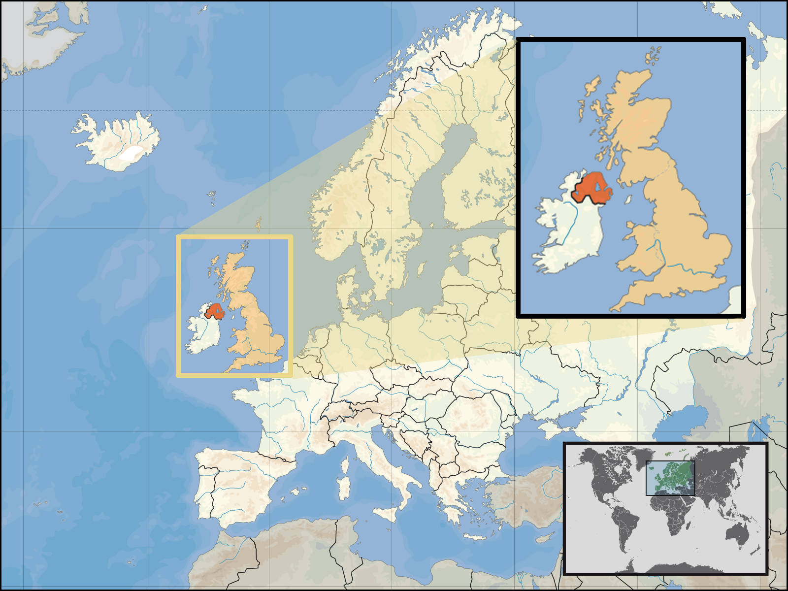
| คำอธิบาย | Location of Northern Ireland in the UK and Europe, on terrain map showing surface and underwater contour areas. | |||
| วันที่ | ||||
| แหล่งที่มา | Derived from Wikimedia Commons image of original work forming part of the "Europe location" map series created by David Liuzzo: derived from Image:Europe_location_N-IRL.png. | |||
| ผู้สร้างสรรค์ | uploaded by User:Kmusser (excerpt from User:David_Liuzzo) | |||
| การอนุญาต (การใช้ไฟล์นี้ใหม่) |
|
|||
| เวอร์ชันอื่น |
|


ประวัติไฟล์
คลิกวันที่/เวลาเพื่อดูไฟล์ที่ปรากฏในขณะนั้น
| วันที่/เวลา | รูปย่อ | ขนาด | ผู้ใช้ | ความเห็น | |
|---|---|---|---|---|---|
| ปัจจุบัน | 02:05, 30 กันยายน 2551 | | 1,600 × 1,200 (772 กิโลไบต์) | Kmusser | {{Information |Description= Location of Northern Ireland in the UK and Europe, on terrain map showing surface and underwater contour areas. |Source=Derived from Wikimedia Commons image of original work forming part of the "Europe location" map |
หน้าที่มีภาพนี้
หน้าต่อไปนี้ โยงมาที่ภาพนี้:
การใช้ไฟล์ข้ามโครงการ
วิกิอื่นต่อไปนี้ใช้ไฟล์นี้:
- การใช้บน an.wikipedia.org
- การใช้บน az.wiktionary.org
- การใช้บน en.wikipedia.org
- การใช้บน eu.wiktionary.org
- การใช้บน fa.wikipedia.org
- การใช้บน fr.wikipedia.org
- การใช้บน gom.wikipedia.org
- การใช้บน gu.wikipedia.org
- การใช้บน gv.wikipedia.org
- การใช้บน id.wikipedia.org
- การใช้บน kn.wikipedia.org
- การใช้บน ko.wikipedia.org
- การใช้บน ml.wikipedia.org
- การใช้บน nds-nl.wikipedia.org
- การใช้บน nov.wikipedia.org
- การใช้บน pl.wikipedia.org
- การใช้บน pl.wiktionary.org
- การใช้บน simple.wikipedia.org
- การใช้บน sr.wikinews.org
- การใช้บน tet.wikipedia.org
- การใช้บน tpi.wikipedia.org
- การใช้บน tr.wiktionary.org
- การใช้บน war.wikipedia.org