ไฟล์:Canada Manitoba location map.svg

ขนาดของตัวอย่าง PNG นี้ของไฟล์ SVG นี้: 486 × 599 พิกเซล ความละเอียดอื่น: 195 × 240 พิกเซล | 389 × 480 พิกเซล | 623 × 768 พิกเซล | 831 × 1,024 พิกเซล | 1,661 × 2,048 พิกเซล | 1,512 × 1,864 พิกเซล
ดูภาพที่มีความละเอียดสูงกว่า ((ไฟล์ SVG, 1,512 × 1,864 พิกเซล, ขนาดไฟล์: 809 กิโลไบต์))
| รูปภาพหรือไฟล์เสียงนี้ ต้นฉบับอยู่ที่ คอมมอนส์ รายละเอียดด้านล่าง เป็นข้อความที่แสดงผลจาก ไฟล์ต้นฉบับในคอมมอนส์
|
ความย่อ
| คำอธิบาย |
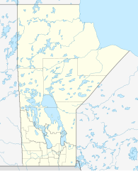
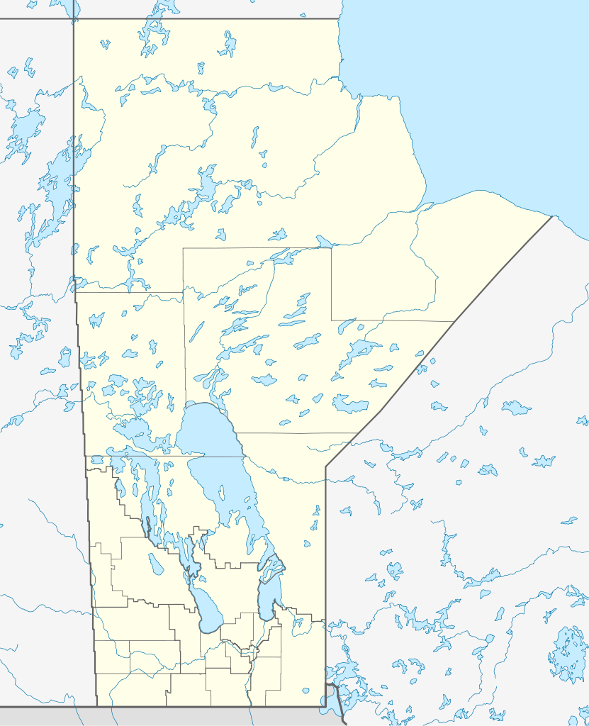
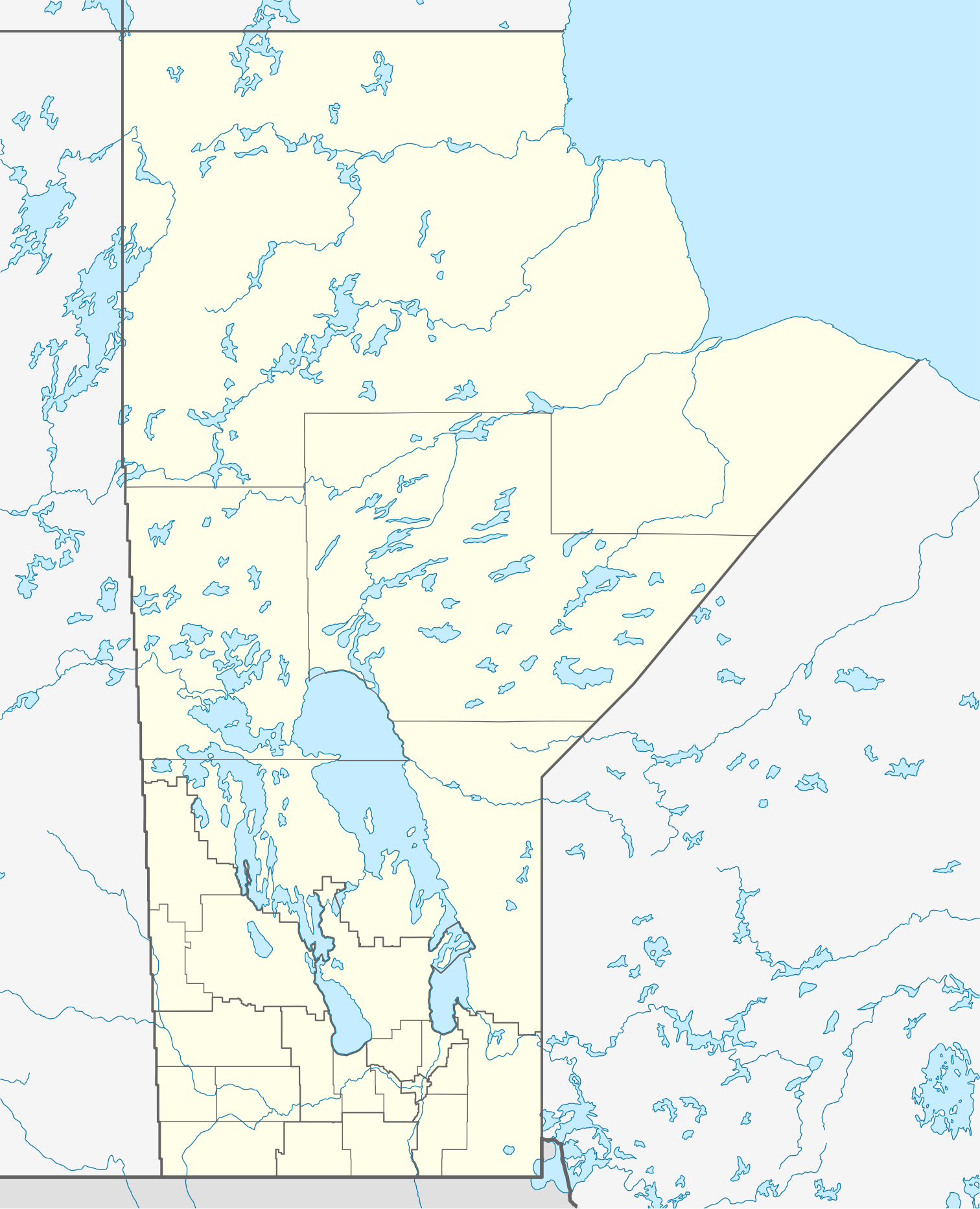
Quadratische Plattkarte, N-S-Streckung 170 %. Geographische Begrenzung der Karte:
Equirectangular projection, N/S stretching 170 %. Geographic limits of the map:
|
| วันที่ | |
| แหล่งที่มา |
งานของตัว, using
|
| ผู้สร้างสรรค์ | NordNordWest |
| การอนุญาต (การใช้ไฟล์นี้ใหม่) |
ข้าพเจ้า ในฐานะผู้ถือลิขสิทธิ์ของภาพหรือสื่อนี้ อนุญาตให้ใช้ภาพหรือสื่อนี้ภายใต้เงื่อนไขต่อไปนี้ ไฟล์นี้อยู่ภายใต้สัญญาอนุญาต ครีเอทีฟคอมมอนส์ แบบแสดงที่มา-อนุญาตแบบเดียวกัน 3.0 ต้นฉบับ
|
| เวอร์ชันอื่น |
ไฟล์อื่นที่ใช้ไฟล์นี้:
|


|
แผนที่นี้ถูกสร้างหรือพัฒนาขึ้นจาก Kartenwerkstatt (ห้องปฏิบัติการแผนที่) ของวิกิพีเดียภาษาเยอรมัน ซึ่งคุณสามารถเสนอแผนที่เพื่อพัฒนาได้เช่นเดียวกัน
|
ประวัติไฟล์
คลิกวันที่/เวลาเพื่อดูไฟล์ที่ปรากฏในขณะนั้น
| วันที่/เวลา | รูปย่อ | ขนาด | ผู้ใช้ | ความเห็น | |
|---|---|---|---|---|---|
| ปัจจุบัน | 18:57, 28 สิงหาคม 2552 | | 1,512 × 1,864 (809 กิโลไบต์) | NordNordWest | {{int:filedesc}} {{Information |Description= {{de|Positionskarte von Manitoba, Kanada}} Quadratische Plattkarte, N-S-Streckung 170 %. Geographische Begrenzung der Karte: * N: 60.3° N * S: 48.7° N * W: 104.0° W * O: 88.0� |
หน้าที่มีภาพนี้
หน้าต่อไปนี้ โยงมาที่ภาพนี้:
การใช้ไฟล์ข้ามโครงการ
วิกิอื่นต่อไปนี้ใช้ไฟล์นี้:
- การใช้บน ar.wikipedia.org
- การใช้บน ba.wikipedia.org
- การใช้บน ca.wikipedia.org
- การใช้บน cs.wikipedia.org
- การใช้บน de.wikipedia.org
- Winnipeg
- Eishockey-Weltmeisterschaft der U20-Junioren 1999
- Churchill (Manitoba)
- Canada Life Centre
- Winnipegosis (Manitoba)
- Winkler (Manitoba)
- Altona (Manitoba)
- Reykjavik (Manitoba)
- Thompson (Manitoba)
- Arborg (Manitoba)
- Ashern (Manitoba)
- Steinbach (Manitoba)
- Dauphin (Manitoba)
- Selkirk (Manitoba)
- Gimli (Manitoba)
- Brandon (Manitoba)
- Lower Fort Garry
- Vorlage:Positionskarte Kanada Manitoba
- St. François Xavier
- Morden (Manitoba)
- Beausejour
- Grand Rapids (Manitoba)
- Portage la Prairie
- Carberry
- Minnedosa
- Wikipedia:Kartenwerkstatt/Positionskarten/Nordamerika
- York Factory (Manitoba)
- Norway House
- Painted Stone Portage
- Saint-Boniface (Manitoba)
- Flin Flon Airport
- Fort Prince of Wales
- Winnipeg Arena
- Winnipeg Beach
- Boissevain (Manitoba)
- Polo Park
- Emerson (Manitoba)
- Swan River (Manitoba)
- IG Field
ดูการใช้ข้ามโครงการเพิ่มเติมของไฟล์นี้