ไฟล์:Žilina Region demis background map.png
ขนาดของตัวอย่างนี้: 778 × 600 พิกเซล ความละเอียดอื่น: 312 × 240 พิกเซล | 623 × 480 พิกเซล | 996 × 768 พิกเซล | 1,280 × 987 พิกเซล | 1,357 × 1,046 พิกเซล
ดูภาพที่มีความละเอียดสูงกว่า (1,357 × 1,046 พิกเซล, ขนาดไฟล์: 1.18 เมกะไบต์, ชนิดไมม์: image/png)
| รูปภาพหรือไฟล์เสียงนี้ ต้นฉบับอยู่ที่ คอมมอนส์ รายละเอียดด้านล่าง เป็นข้อความที่แสดงผลจาก ไฟล์ต้นฉบับในคอมมอนส์
|
ความย่อ
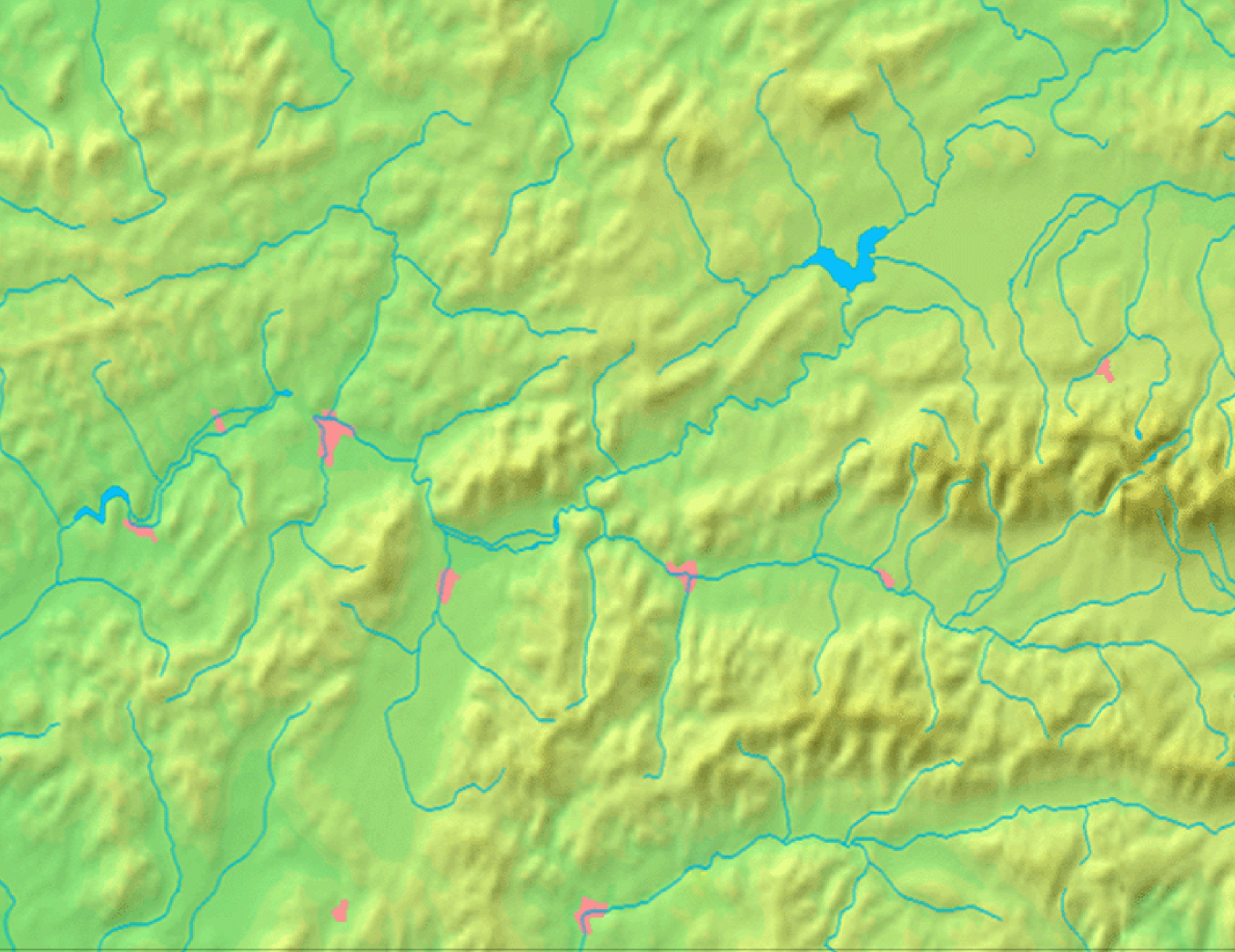
| คำอธิบาย | Background map of the Žilina Region, Slovakia, the same boundaries as Image:Žilina Region with districts map.svg | ||||
| วันที่ | |||||
| แหล่งที่มา | Made my myself from free maps available at www.demis.nl | ||||
| ผู้สร้างสรรค์ | Caroig | ||||
| การอนุญาต (การใช้ไฟล์นี้ใหม่) |
|
ประวัติไฟล์
คลิกวันที่/เวลาเพื่อดูไฟล์ที่ปรากฏในขณะนั้น
| วันที่/เวลา | รูปย่อ | ขนาด | ผู้ใช้ | ความเห็น | |
|---|---|---|---|---|---|
| ปัจจุบัน | 15:40, 3 กันยายน 2550 | | 1,357 × 1,046 (1.18 เมกะไบต์) | Caroig | == Summary == {{Information |Description=Background map of the Žilina Region, Slovakia, the same boundaries as Image:Žilina Region with districts map.png |SourceMade my myself from free maps available at www.demis.nl |Date=2007-09-03 |Author=[[:en: |
หน้าที่มีภาพนี้
ไม่มีหน้าใดโยงมาที่ภาพนี้