ไฟล์:Isle of Anglesey UK location map.svg

ขนาดของตัวอย่าง PNG นี้ของไฟล์ SVG นี้: 681 × 600 พิกเซล ความละเอียดอื่น: 273 × 240 พิกเซล | 545 × 480 พิกเซล | 872 × 768 พิกเซล | 1,163 × 1,024 พิกเซล | 2,325 × 2,048 พิกเซล | 1,425 × 1,255 พิกเซล
ดูภาพที่มีความละเอียดสูงกว่า ((ไฟล์ SVG, 1,425 × 1,255 พิกเซล, ขนาดไฟล์: 793 กิโลไบต์))
| รูปภาพหรือไฟล์เสียงนี้ ต้นฉบับอยู่ที่ คอมมอนส์ รายละเอียดด้านล่าง เป็นข้อความที่แสดงผลจาก ไฟล์ต้นฉบับในคอมมอนส์
|
| คำอธิบาย |
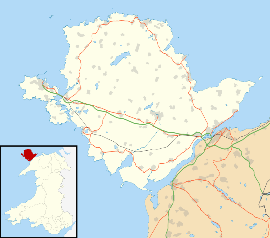
Blank map of the Anglesey, UK with the following information shown:
Equirectangular map projection on WGS 84 datum, with N/S stretched 165% Geographic limits:
|
| วันที่ | |
| แหล่งที่มา |
|
| ผู้สร้างสรรค์ | Nilfanion, created using Ordnance Survey data |
| การอนุญาต (การใช้ไฟล์นี้ใหม่) |
ไฟล์นี้อยู่ภายใต้สัญญาอนุญาต ครีเอทีฟคอมมอนส์ แบบแสดงที่มา-อนุญาตแบบเดียวกัน 3.0 ต้นฉบับ การแสดงที่มา: Contains Ordnance Survey data © Crown copyright and database right
|
| เวอร์ชันอื่น | File:Isle of Anglesey UK map.svg - Blank map |
ประวัติไฟล์
คลิกวันที่/เวลาเพื่อดูไฟล์ที่ปรากฏในขณะนั้น
| วันที่/เวลา | รูปย่อ | ขนาด | ผู้ใช้ | ความเห็น | |
|---|---|---|---|---|---|
| ปัจจุบัน | 02:34, 27 กันยายน 2553 | | 1,425 × 1,255 (793 กิโลไบต์) | Nilfanion | {{Information |Description=Blank map of the Anglesey, UK with the following information shown: *Administrative borders *Coastline, lakes and rivers *Roads and railways *Urban areas Equirectangular map projection on WGS 84 datum, wi |
หน้าที่มีภาพนี้
หน้าต่อไปนี้ โยงมาที่ภาพนี้:
การใช้ไฟล์ข้ามโครงการ
วิกิอื่นต่อไปนี้ใช้ไฟล์นี้:
- การใช้บน af.wikipedia.org
- การใช้บน ar.wikipedia.org
- การใช้บน bn.wikipedia.org
- การใช้บน ceb.wikipedia.org
- การใช้บน cy.wikipedia.org
- การใช้บน da.wikipedia.org
- การใช้บน el.wikipedia.org
- การใช้บน en.wikipedia.org
- List of monastic houses in Wales
- Holyhead
- Beaumaris Castle
- Llangefni
- Amlwch
- Cemaes
- Newborough, Anglesey
- Beaumaris
- Menai Bridge
- Caernarfon Bay
- RAF Valley
- Bodedern
- Middle Mouse
- West Mouse
- RAF Mona
- South Stack
- Aberffraw
- Pentraeth
- Ynys Llanddwyn
- Llannerch-y-medd
- Llaingoch
- Llandegfan
- Benllech
- Moelfre, Anglesey
- Llangoed
- Red Wharf Bay
- Abermenai Point
- Cemlyn
- Fedw Fawr
- Tŷ Croes
- Ynys Feurig, Cemlyn Bay and The Skerries Special Protection Area
- Ynys Benlas
- South Stack Cliffs RSPB reserve
- Aber Alaw
- Rhosneigr
ดูการใช้ข้ามโครงการเพิ่มเติมของไฟล์นี้