ไฟล์:Arabian Peninsula (orthographic projection).png

ขนาดของตัวอย่างนี้: 600 × 600 พิกเซล ความละเอียดอื่น: 240 × 240 พิกเซล | 480 × 480 พิกเซล | 768 × 768 พิกเซล | 1,024 × 1,024 พิกเซล | 2,000 × 2,000 พิกเซล
ดูภาพที่มีความละเอียดสูงกว่า (2,000 × 2,000 พิกเซล, ขนาดไฟล์: 666 กิโลไบต์, ชนิดไมม์: image/png)
| รูปภาพหรือไฟล์เสียงนี้ ต้นฉบับอยู่ที่ คอมมอนส์ รายละเอียดด้านล่าง เป็นข้อความที่แสดงผลจาก ไฟล์ต้นฉบับในคอมมอนส์
|
.png)
ความย่อ
| คำอธิบาย |
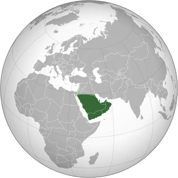
English: The Arabian Peninsula العربية: شبه الجزيرة العربية |
| วันที่ | |
| แหล่งที่มา | งานของตัว |
| ผู้สร้างสรรค์ | Afrogindahood |
การอนุญาตใช้สิทธิ
| This map is ineligible for copyright and therefore in the public domain, because it consists entirely of information that is common property and contains no original authorship. For more information, see Commons:Threshold of originality § Maps.
|
ประวัติไฟล์
คลิกวันที่/เวลาเพื่อดูไฟล์ที่ปรากฏในขณะนั้น
| วันที่/เวลา | รูปย่อ | ขนาด | ผู้ใช้ | ความเห็น | |
|---|---|---|---|---|---|
| ปัจจุบัน | 21:14, 7 มีนาคม 2566 | | 2,000 × 2,000 (666 กิโลไบต์) | Treetoes023 | Reverted to version as of 23:11, 6 January 2020 (UTC): This version shows the geographic Arabian Peninsula. |
| 04:24, 25 มกราคม 2563 |  | 2,000 × 2,000 (399 กิโลไบต์) | Ham105 | Reverted to version as of 03:49, 7 March 2015 (UTC) | |
| 06:11, 7 มกราคม 2563 |  | 2,000 × 2,000 (666 กิโลไบต์) | Sariyr | Reverted to version as of 22:23, 4 January 2020 (UTC): Northern border line between the Gulf of Aqaba and the Kuwait Bay. | |
| 11:06, 5 มกราคม 2563 |  | 2,000 × 2,000 (399 กิโลไบต์) | Ham105 | Reverted to version as of 03:49, 7 March 2015 (UTC) unsourced - take it to the discussion page | |
| 05:23, 5 มกราคม 2563 |  | 2,000 × 2,000 (666 กิโลไบต์) | Sariyr | Reverted to version as of 02:46, 4 January 2020 (UTC): Northern border line between the Gulf of Akaba an the Kuwait Bay. | |
| 22:37, 4 มกราคม 2563 |  | 2,000 × 2,000 (399 กิโลไบต์) | Ham105 | Reverted to version as of 03:49, 7 March 2015 (UTC) | |
| 09:46, 4 มกราคม 2563 |  | 2,000 × 2,000 (666 กิโลไบต์) | Sariyr | Northern border line between the Gulf of Akaba an the Kuwait Bay. | |
| 10:49, 7 มีนาคม 2558 |  | 2,000 × 2,000 (399 กิโลไบต์) | Afrogindahood | User created page with UploadWizard |
หน้าที่มีภาพนี้
หน้าต่อไปนี้ โยงมาที่ภาพนี้:
การใช้ไฟล์ข้ามโครงการ
วิกิอื่นต่อไปนี้ใช้ไฟล์นี้:
- การใช้บน ar.wikipedia.org
- การใช้บน arz.wikipedia.org
- การใช้บน azb.wikipedia.org
- การใช้บน bn.wikipedia.org
- การใช้บน ckb.wikipedia.org
- การใช้บน cs.wikipedia.org
- การใช้บน el.wikiversity.org
- การใช้บน en.wikipedia.org
- การใช้บน fa.wikipedia.org
- การใช้บน he.wikipedia.org
- การใช้บน hy.wikipedia.org
- การใช้บน hyw.wikipedia.org
- การใช้บน id.wikipedia.org
- การใช้บน it.wikivoyage.org
- การใช้บน kn.wikipedia.org
- การใช้บน mrj.wikipedia.org
- การใช้บน pnb.wikipedia.org
- การใช้บน ps.wikipedia.org
- การใช้บน pt.wikipedia.org
- การใช้บน sc.wikipedia.org
- การใช้บน si.wikipedia.org
- การใช้บน sl.wikipedia.org
- การใช้บน sr.wikipedia.org
- การใช้บน ur.wikipedia.org
- การใช้บน uz.wikipedia.org
- การใช้บน vi.wikipedia.org
.png)